Day 77 – 19 May 2015 to Day 78 – 20 May 2015
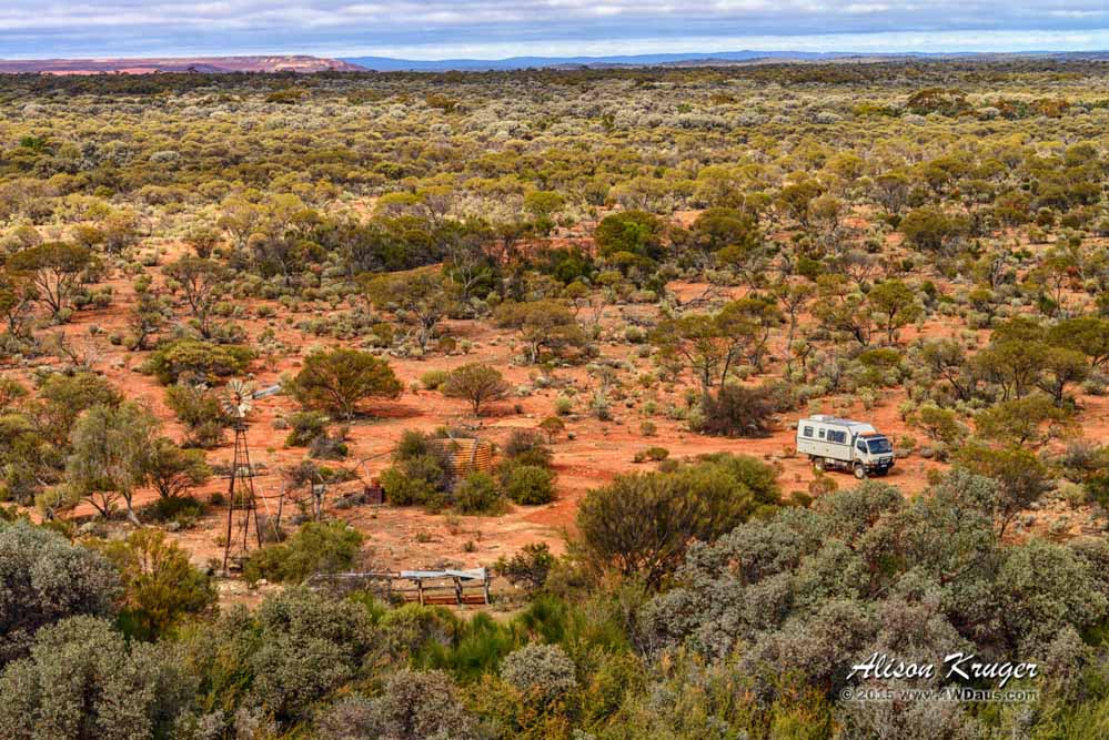
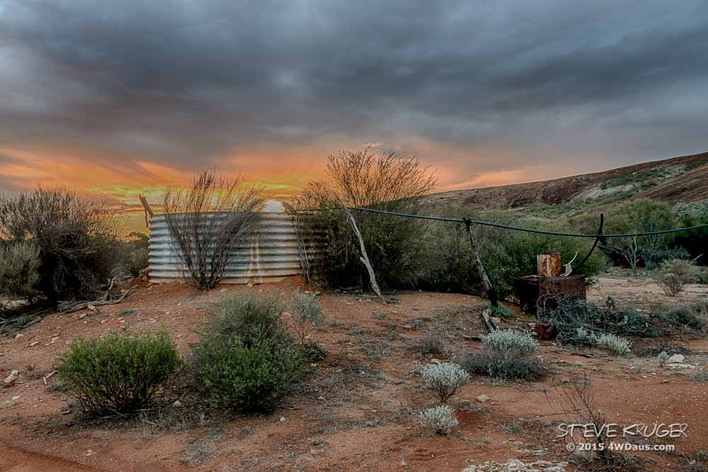
Camped near an old water tank in the shadow of Pigeon Rocks to shelter a little from the winds.
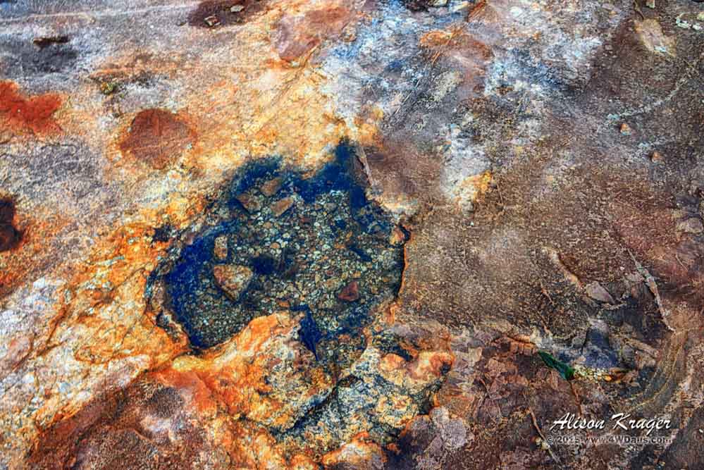
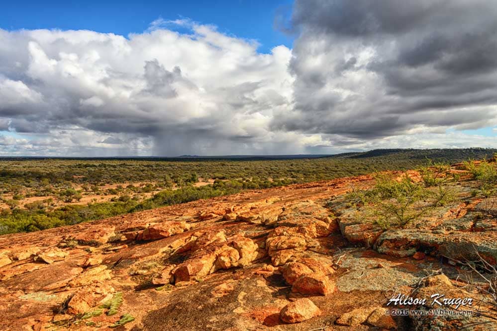
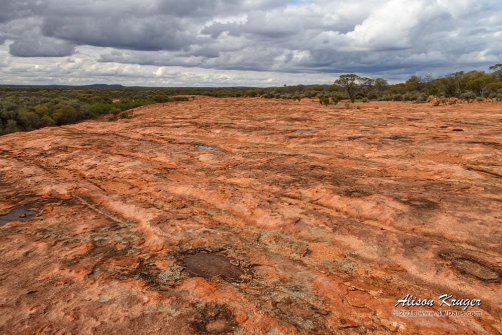
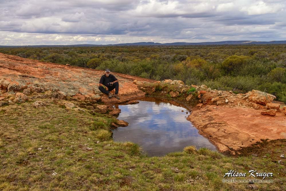
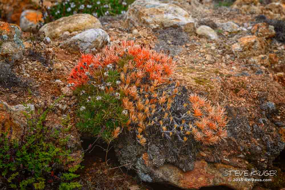
Today, I have decided to do some exploring between the rain squalls. I climbed to the top of the Pigeon Rocks to where someone had thoughtfully left a road side guide post to mark the highest point. So obviously I am not the first person to be here! The rocks were in fact were discovered in 1875 by explorer Ernest Giles. One would guess he got a good feed of pigeons whilst in the area. Although, I did not see any pigeons during my walks. With all the rain that has been in the area, it was interesting to see many of the indentations on the rock filled with water. There even 1 small rock pool that reminded me of a map. See if you agree?
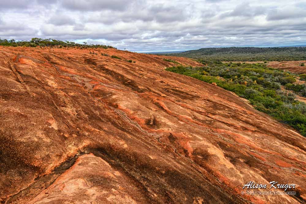
The view from the top of Pigeon Rocks was magnificent. You could see for many kilometres in all directions, something Steve and I have not found very often from these types of land marks. In the distances you could see clouds dropping their rain on the plains below.
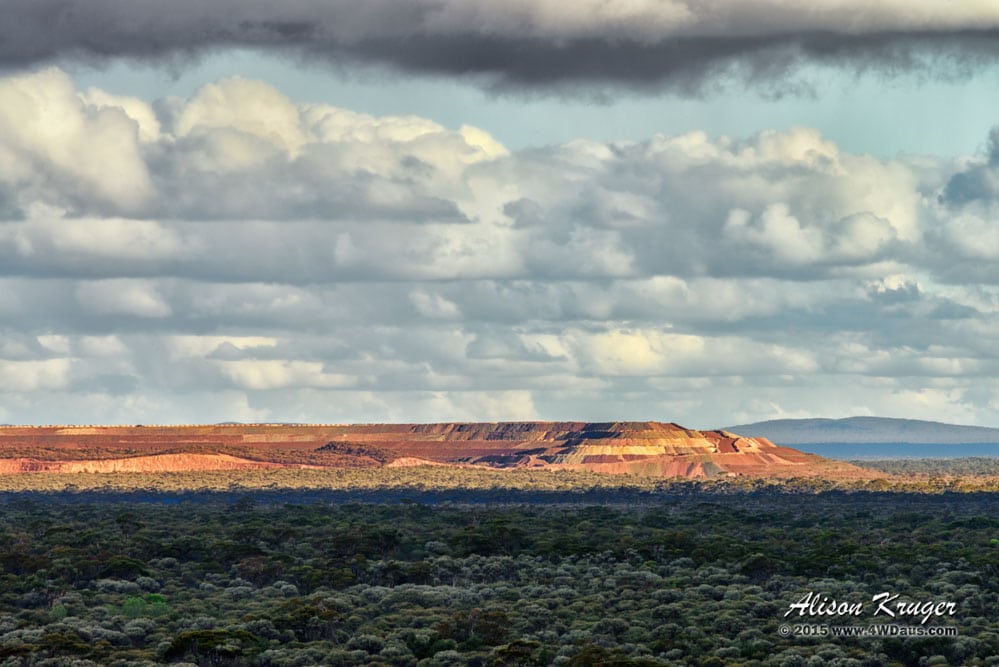
I had a little chuckle that man carves (mines) a mountain into layers and the clouds mimic the same layers above it. This mine also strangely attracted the sunlight today, it was the only landmark that was completely lit up.
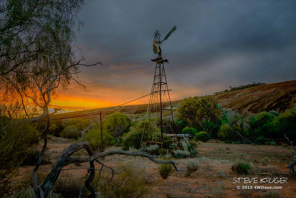
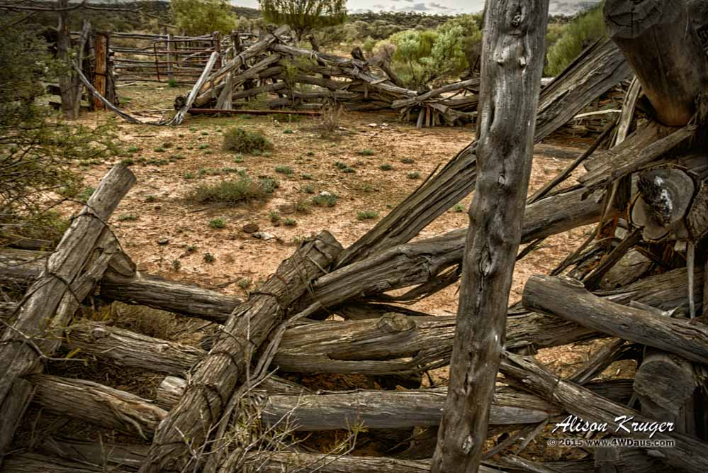
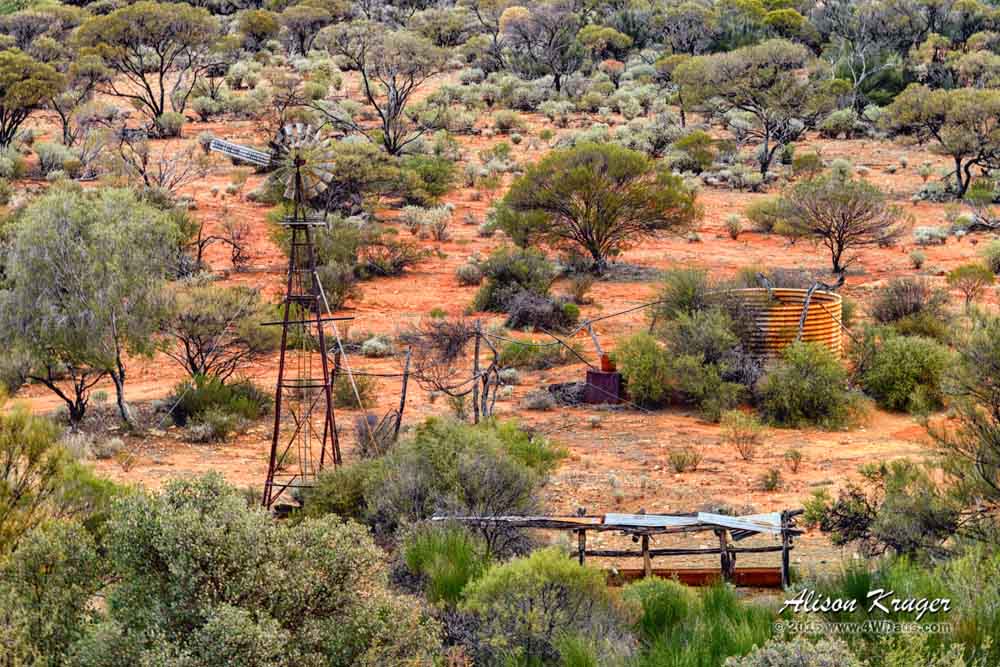
As there was obviously much more to see here I returned to the 4WD for Steve and we both went off to explore the tops of the rock and around the base together. Pigeon Rock has 2 old Southern Cross windmills. Sadly, both were not pumping water, although it appears 1 windmill has only broken a pump rod and will be easily repaired. The lack of permanent water at, at least 1 of these windmills meant the large local bird population we were hoping to see was not here. There appears to be one other site were a windmill may have been in the past. You can see the timber sides of the well and concrete top are still in place. Officials from the Mines Water Supply set these wells up around 1910 and they were used by the miners in their discovery of gold in the surrounding Die Hardy Ranges, Yarbu and Clampton mines. One unlucky prospector, Billy Johnston is buried some 5kms north of the rocks, died of dehydration.
As we explored the top of Pigeon Rocks we found interesting areas and beautiful scenery. There is a hidden valley in the middle of the rock that feeds water to one of the Southern Cross windmills and were an old stock yards are that has fallen into disrepair.
A little later we discovered a landscape populated by strangely shaped rocks. I am sure one rock should be named the Lock Ness monster head or dino the dinosaur.

Other areas appear as marbles, pigs, and fish. And no, we have not been having the odd nip of spirit along the way. LOL
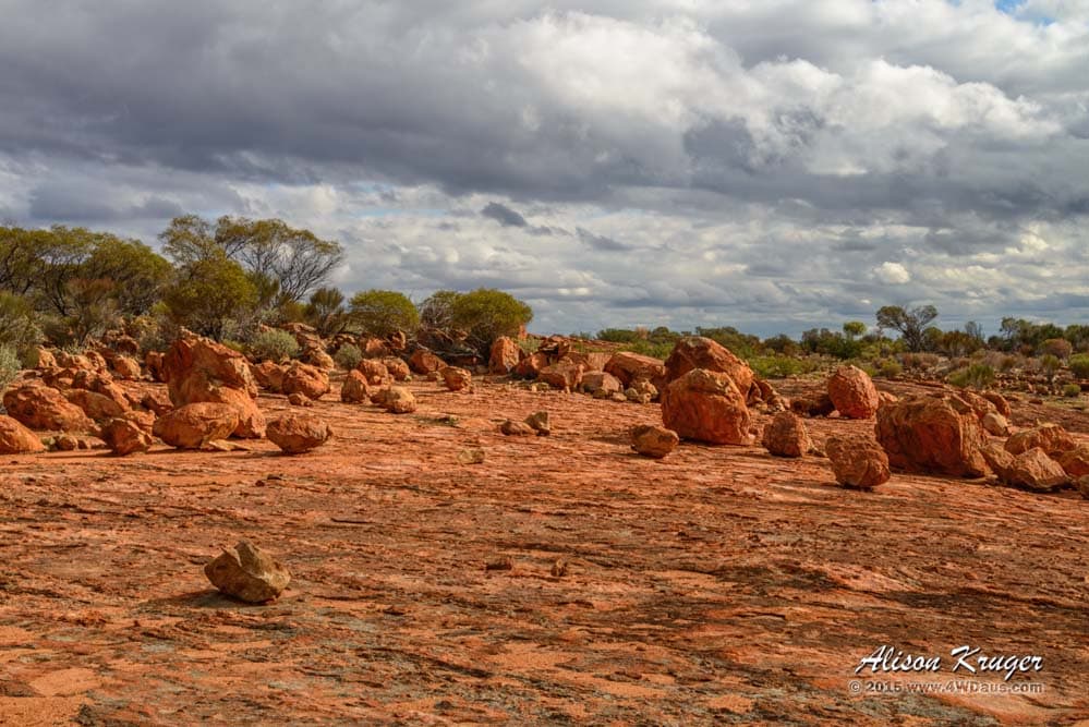
Another area of the rock was grooved like a record.
The big surprise of our travels was a semi-permanent rock pool that had a colony of small dark frogs, happily croaking away. It appeared the rock’s vegetation and moss slowed down the water running down its side enough for this population to have a water supply available for breeding. The frogs burrowed under the small rocks and only exited in times of moisture. The small tadpoles were evidence of another generation being alive and well.
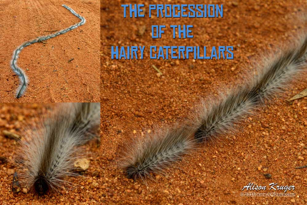
During one of our walks Steve and I found what we called the “The Procession of the Hairy Caterpillars”. From a distance it would be very easy to think these Hairy Caterpillars were a snake as they moved slowly across the ground, with one caterpillar closely behind the last. There is obviously safety in numbers as the most a bird of prey would get is a beak full of grub if attacked. The rest of the caterpillars would be safe.
Being camped near a windmill was also a great opportunity to do sunsets and sunrises of the Southern Cross Windmill and its rusty old water tank. Sadly, we only got a couple of opportunities to photograph as the clouds closed in blocking the setting sun. But the upside of this is we both were able to take some beautiful photos of Pigeon Rocks without the strong sunlight washing of the colours out.
Day 79 – 21 May 2015
One of the tracks from Pigeon Rocks looked really good, for certain headed for a mine, so we decided instead of squeezing ourselves back down a track, we would give it ago. 15kms on a sign with Mine DO NOT ENTER appeared. Lucky, we also saw a less driven trail 500m back down the track, so back to squeezing down a track. Nicely, there was less clearing needed on this track and we made good time.
Headed south towards Southern Cross for some supplies (you know we do need to eat), we came to and small ghost town named Koolyanobbling and then a salt lake, Lake Deborah East.
The GPS displayed an incredible pattern of streets in what must have been a huge town once. Today, junk seems to line most of the streets in front of the few remaining houses left standing. Steve, who I am sure can smell rust 10kms away, found another rusty relic or 2 to photograph for his collection.
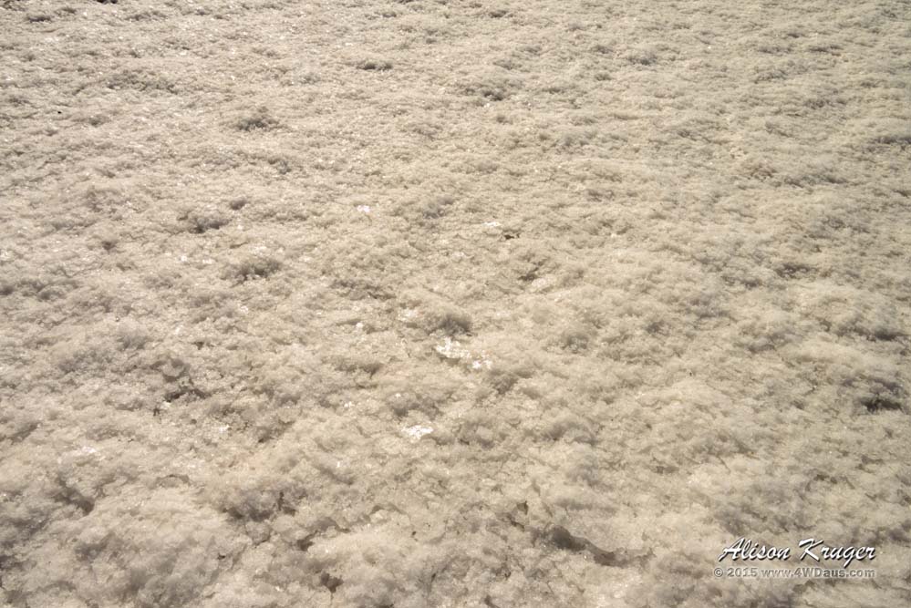
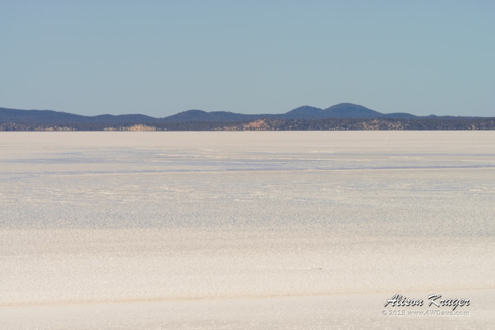
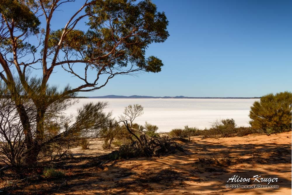
Soon we arrived at Lake Deborah East, WOW the salt crystals are so white. Looking out, it did appear to be water in the centre, but in our previous bush walking we have seen this before, what looks like water, turns out to be a mirage.
After a quick stock up at the IGA and a dash into the local bakery for some most excellent pies, it was out onto the highway to head for another rock. Elachbutting Rock is famous for its wave like edges and colourful vertical lines. Many people prefer Elachbutting Rock to Wave Rock which is much further south of here, as we have been to Wave Rock in 2006, we were both keen why.